Along the right river bank of the Danube River starting from the Golubac ancient city all the way to Diana at Karatas, stretching across approximately 100 km, Djerdap National Park covers a narrow and forested 2-8 km wide highland girdle reaching from 50 m up to 800 m in height.
How to find us
Djerdap National Park is located in the southeastern part of Europe, and northeastern part of Serbia, on the very border with Romania.
Where we are
The park area is situated between 440 42`- 440 24` of northern latitude and 220 33`- 210 40` of eastern latitude. Access to Djerdap NP is possible from three directions: by Djerdap highway from Belgrade direction, by Djerdap highway from Kladovo direction and from the direction of Niš, across Zaječar, Bor and ‘Miloševa kula’ by using the regional road.
The park area is situated between 440 42`- 440 24` of northern latitude and 220 33`- 210 40` of eastern latitude.

Access to Djerdap NP is possible from three directions. Two are located on the Djerdap highway near Golubacki fortress and Diana Karatas, and one is located on the regional road Porečki most – Klokočevac.
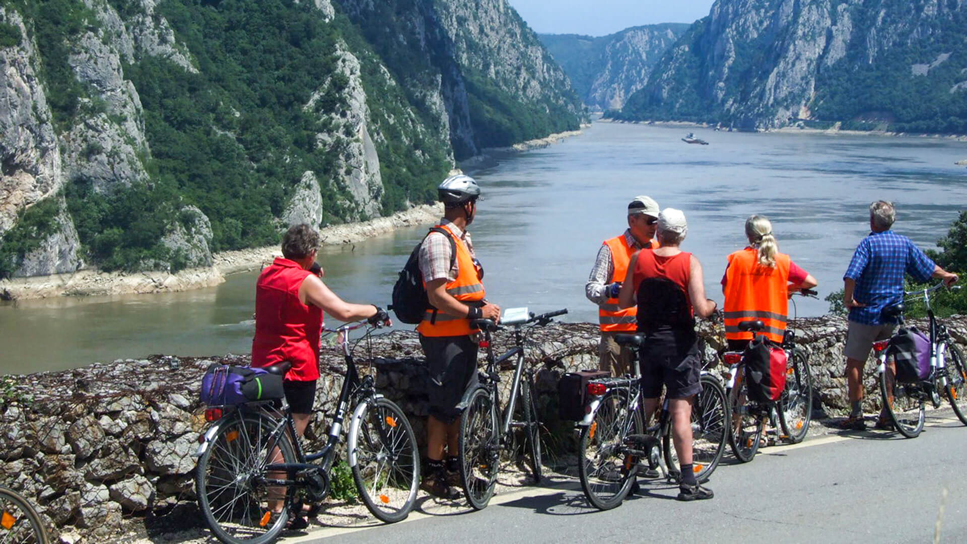
Djerdap NP is open for visitors throughout the year, and it is possible to visit it by sailing across the Danube, by using the Djerdap highway, cycling and walking trails with respecting the Rulebook on internal order and rules of conduct in protected areas.
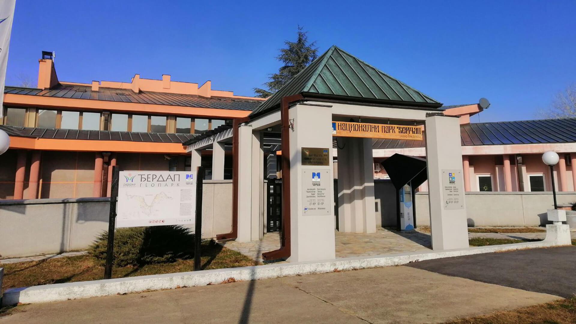
Your Djerdap adventure starts in Donji Milanovac, in the I 14 а, Kralja Petra St., in the administrative building of the PE “Djerdap National Park“ where you are welcomed by professional guides ready to introduce you with the beauties of Djerdap.