Length: 1.2 km in one direction – Average slope: 3% – Category: easy trail
Kovilovo
The trail starts from the local road Donji Milanovac - Majdanpek over the Oman mountain pass at 398 m above sea level.
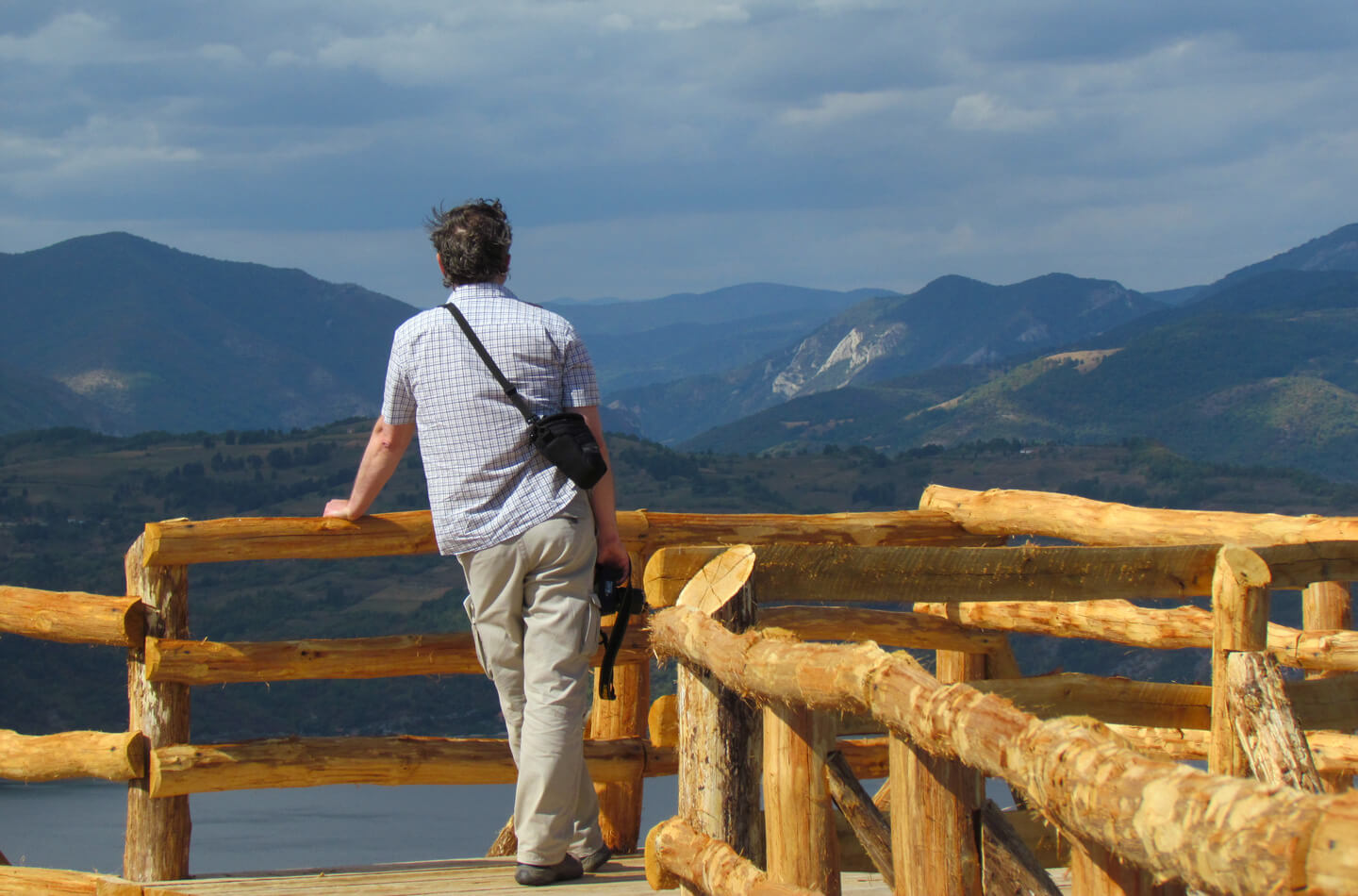
Walking trail
Kovilovo
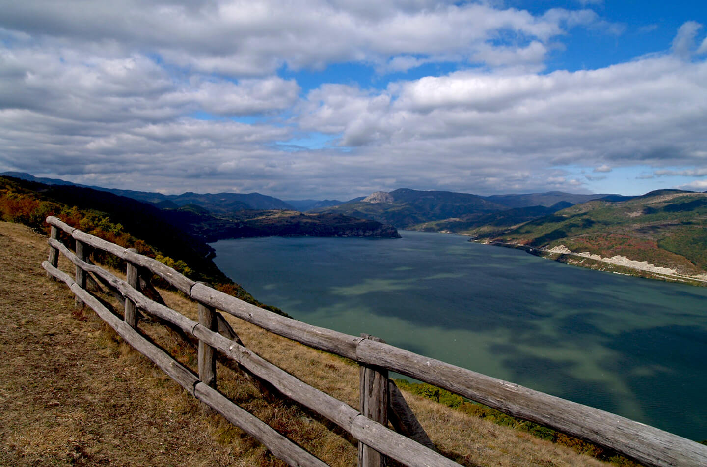
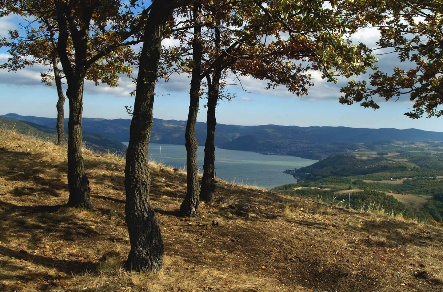
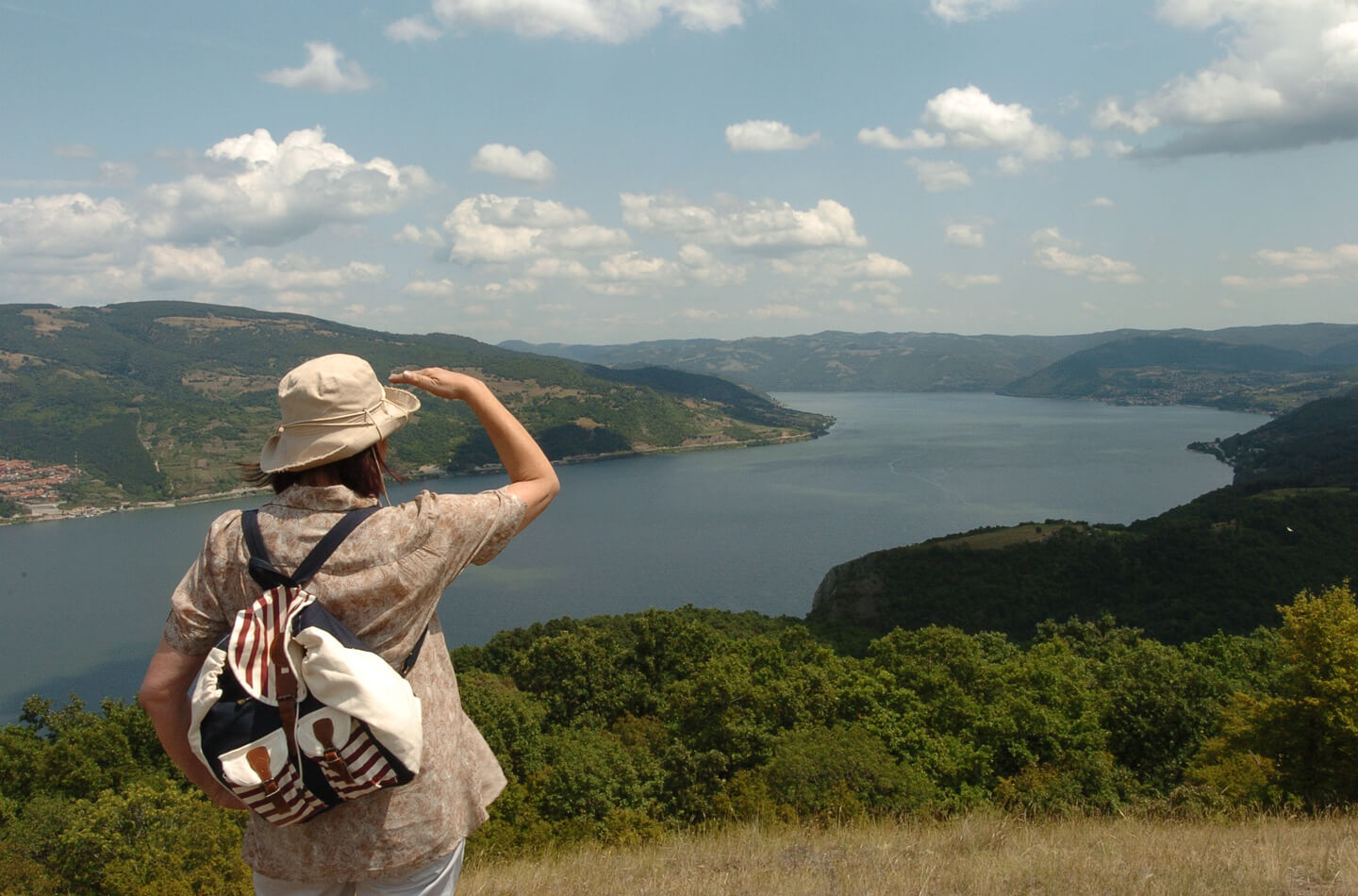
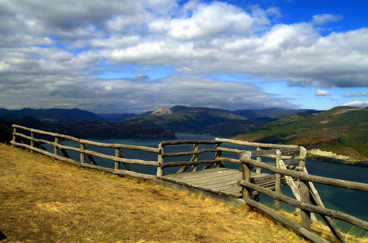
By the forest path, you will reach the viewpoint Kovilovo at 358 m above sea level. There is a great view from Kovilovo of the Donji Milanovac basin, over 25 km long and all three locations of Donji Milanovac.
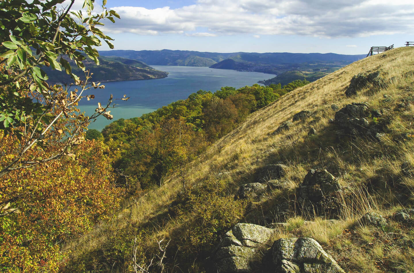


A view at the whole
basin of the
Donji Milanovac
Kovilovo has the altitude of 358 m and it is the habitat of станиште је Achillea clypeolata, an endemic species with significantly limited prevalence.
There is a view from Kovilovo onto the entire basin ”Donjomilanovačka kotlina”, from ”Greben” to Golubinje, covering the length of over 25 km. This is where the Danube is approximately 2 km wide, with steady water level and calm water line. There is a walking trail to Kovilovo.